


 Print
Print Save
Save
 Share
Share
SPECIAL NOTES:
(1) CASH ONLY
(2) Seller to pay Taxes, HOA, and Municipal/Utility Liens.
(3) Bids below the reserve may be presented to the seller for consideration.
(4) Please read the Williams and Williams disclaimers carefully before placing a bid or submitting an offer.
• Buyer will not be charged a Buyers Premium or Auction Service Fee.
• Buyer's Agent Commission: Please contact for confirmation.
• Buyer is responsible for all escrow and closing fees typically ranging from $750-$3000. It is the Buyer’s responsibility to contact a local title agency or real estate attorney for a property specific estimate prior to placing a bid.
• Closing must occur on or before 30 days from seller's acceptance of offer.
• Buyer is responsible for obtaining possession of the property after closing.
• The property is being offered As-Is, Where-Is, without any contingencies.
• Seller will agree to transfer title via Special Warranty Deed (or jurisdictional equivalent) if buyer secures title insurance, at buyer's expense, without delaying the closing date. If buyer does not purchase title insurance, Seller will transfer the property via quit claim deed (or jurisdictional equivalent).
This is a HUD Second Chance home auction – Second Chance means it didn’t sell to a new homeowner at the Foreclosure Auction. During this Second Chance auction period, Seller advises the home is discounted below Seller's appraised value. This is a limited time opportunity. No Buyers Premium.
Open Public Inspections: Property will not be available for inspection.
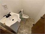
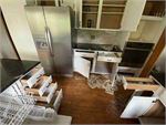
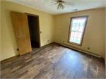
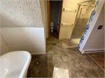
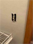
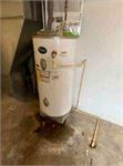
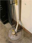
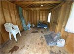
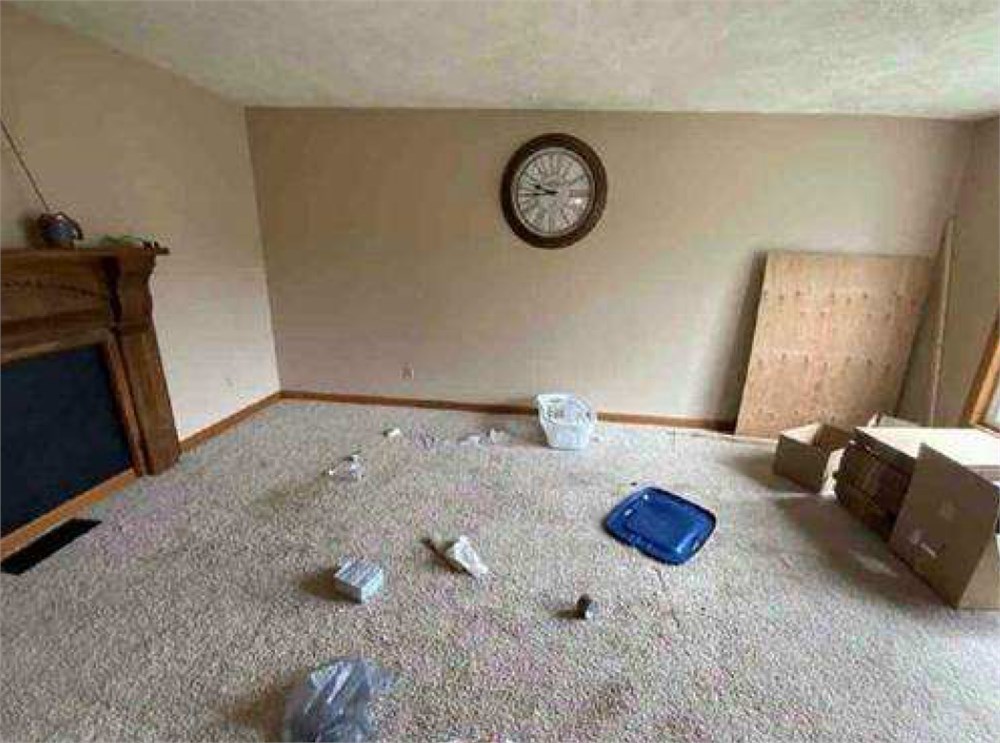
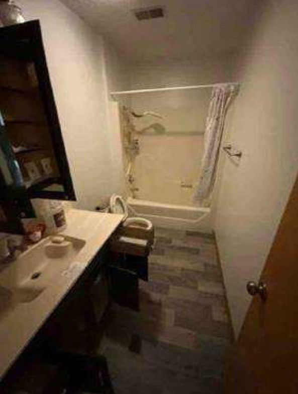
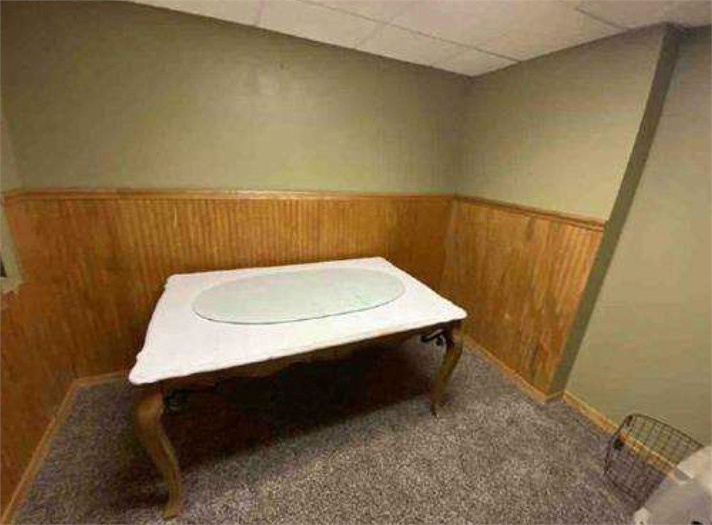
•Property is being sold in an “as is” condition, and the condition is unknown and may include defects, possible health or safety hazards, or debris, or be located in a Special Flood Hazard Area.
•Proof of Funds Required. The seller requires that the high bidder be able to demonstrate proof of funds or financing pre-qualification within 24 hours of the auction. Buyer must obtain a “pre-qualification” letter from a lender of their choice. If buyer intends to pay with cash, a bank letter or other financial account statement showing proof of sufficient funds to cover 100% of the purchase price will be required (account numbers should be removed or redacted). Buyer understands and agrees to submit said documentation to auctioneer within 24 hours of the auction.
• Utilities Disclosure. The utilities to this property are not currently “turned on” and the property has been winterized. Utilities will not be turned prior to closing, regardless of inspections. Buyer will need to consider this and account for it if/when inspecting the property. Buyer is responsible for utility transfer post-closing.
1.13 Acres:
Beginning at a 5/8-inch rebar, set, on the eastern right-of-way limits of Parkview Drive and a corner to Jeffrey Casseday and Kathy Jane Casseday; Thence with said Casseday N. 82s 39' 00" E. 195.91 feet to a1/2-inch rebar, found, on a line of Randy W. Welch and Karen D. Welch; Thence with said Welch for two lines S.13s 03’ 00" E. 14.65 feet to a 1/2-inch rebar, found; Thence N. 77s 43' 20" E.119.87 feet to a1/2-inch rebar, found, on the western limits of a cul-de-sac and right-of-way; Thence with said limits of right of-way for three lines and with a curve to the left of radius 50.00 feet, arc length 57.97 feet, and having a chord bearing S. 46Q 15' 40" E. at 54.78 feet to a1/2-inch rebar, found; Thence S.13s 03' 00" E. 93.93 feet to a1/2-inch rebar, found; Thence with a curve to the right of radius of 20.00 feet, arc length of 34.33 feet and having a chord bearing S. 369 06' 40" W. at 30.27 feet, to a 5/8-inch rebar, set, on the northern right-of way limits of Parkview Drive; Thence with said limits of Parkview Drive for three lines S. 859 17' 00" W. at 128.32 feet crossing a 5/8-inch rebar, set, in all 281.60 feet to a 5/8-inch rebar, set; Thence with a curve to the right of radius of 20.00 feet, arc length 24.72 feet, and having a chord bearing N. 599 18' 40" W. at 23.18 feet to a punch mark, set, on the rim of a storm sewer manhole; Thence N. 23g 54' 00" W.140.93 feet to the point of beginning, containing1.13 acres, more or less, as surveyed during September, 2002, by Surveyor and Associates, Inc., Kingwood, West Virginia, and certified by David C. Sybolt, Professional Surveyor Number 879 and as shown on a plat of survey which is recorded in Deed Book No. 635 at Page 832.
0.500 Acres:
Beginning at a1/2-inch iron rod (set) at the southern edge of a 33-foot right-of-way for an underground telephone cable of AT&T Company, a distance of 16.5 feet from the centerline thereof, thence with the division line of lands of Bennett-Davis-Trenton, S. 13 E 03' 00" E. 81.87 feet to a1/2-inch rod (set) at the northern edge of a cul de sac, which has a radius of 50 feet; thence with the northwestern edge of said cul de sac, by a curve to the left having a radius of 50.00 feet for a distance of 78.54 feet to a1/2-inch iron rod (set) at the western edge of said cul de sac; thence continuing said division line S. 11- 43’ 30" W. 119.87 feet to a 1/2-inch iron rod (set); thence with continuing with said division line N.13Q 03' 00" W.147.20 feet to a 1/2-inch iron rod (set) at the southern edge of said 33-foot right-of-way of AT&T Company; thence with the southern edge of said 33-foot right-of-way of AT&T Company; N. 82e 39' 00" E. 170.70 feet to the place of beginning, containing 0.500 acres, more or less. A plat of the lot herein conveyed is of record in said County Clerk's office in Deed Book No. 535, at page 376, to which reference is also hereby made.
- "As-Is, Where-is", no contingencies to sale
- No Buyer's Premium
- 1% Down-payment ($1,500 minimum)
- View full Terms of Sale
To learn more about auction, visit Help Center or our Frequently Asked Questions.
You can also speak with Customer Service during business hours, call 866.921.2135 or email us.