


 Print
Print Save
Save
 Share
Share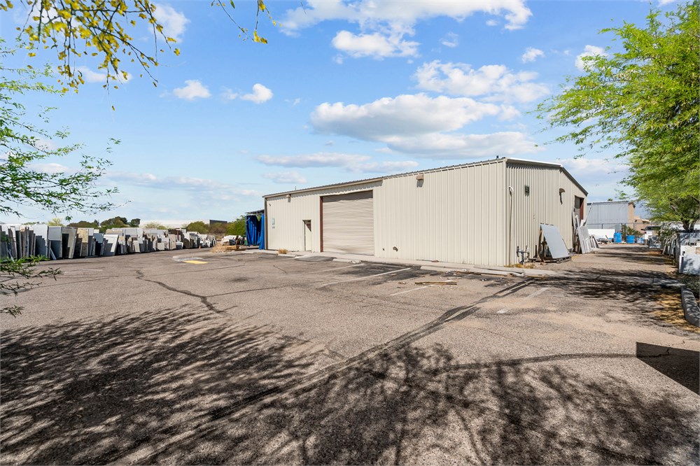
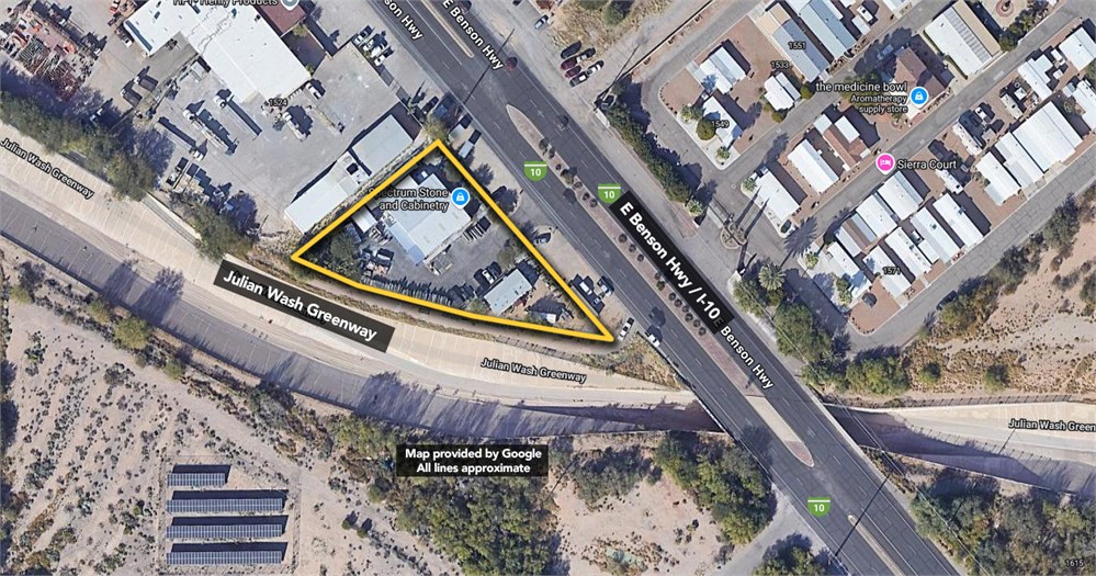
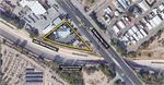
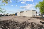
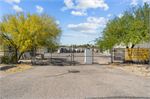
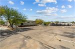
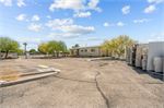
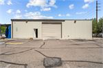
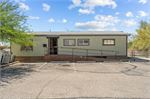
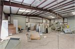
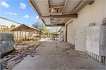
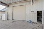
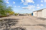
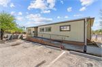
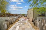
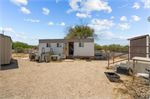
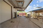
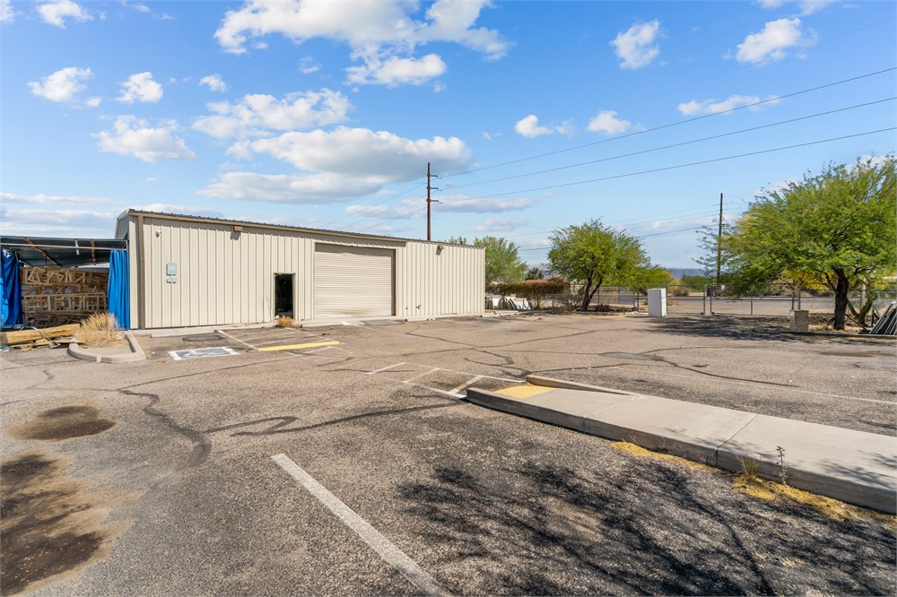
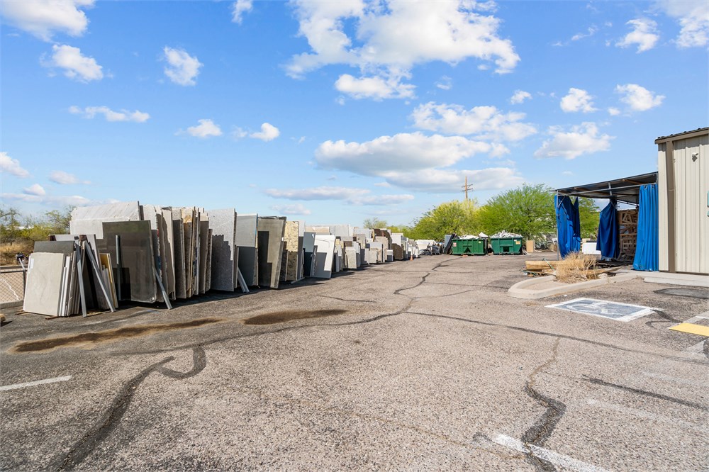
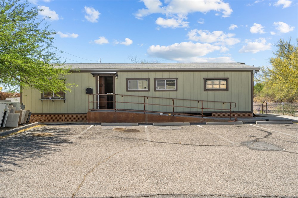
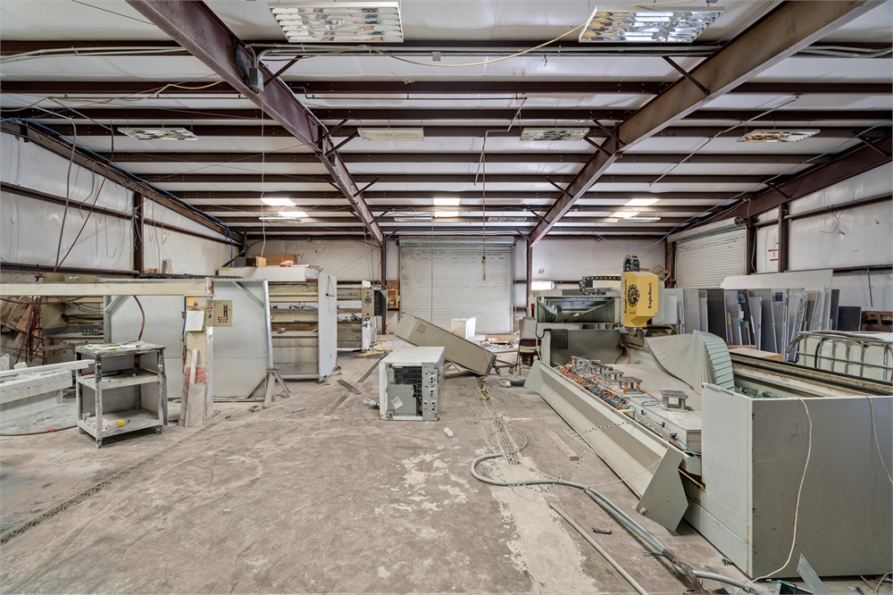
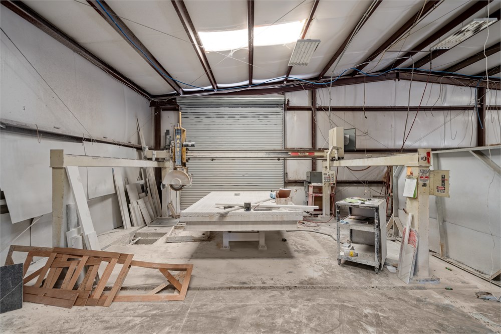
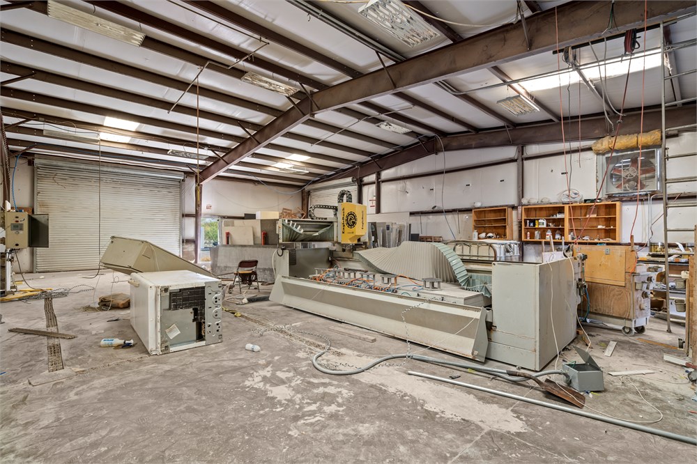
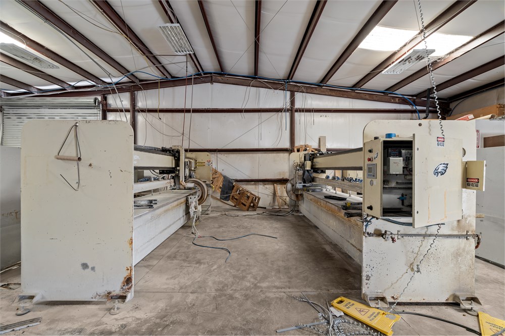
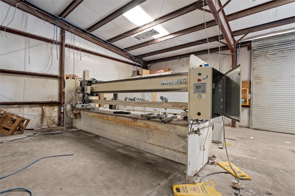
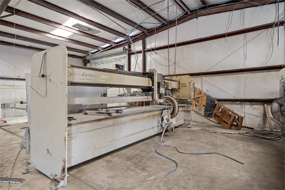
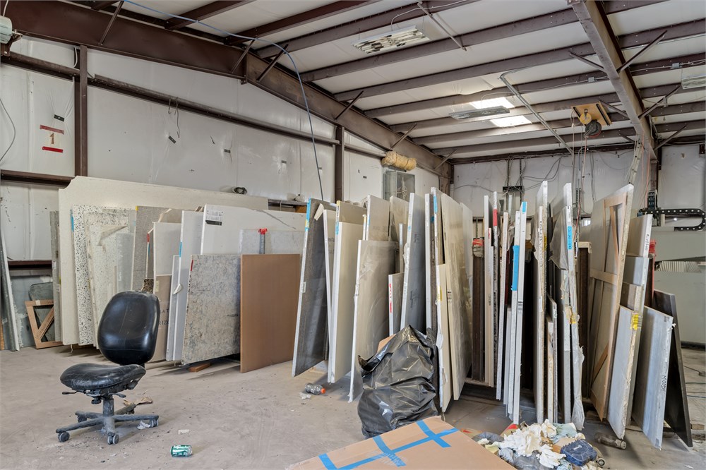
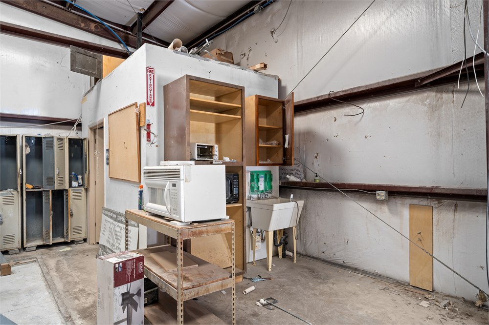
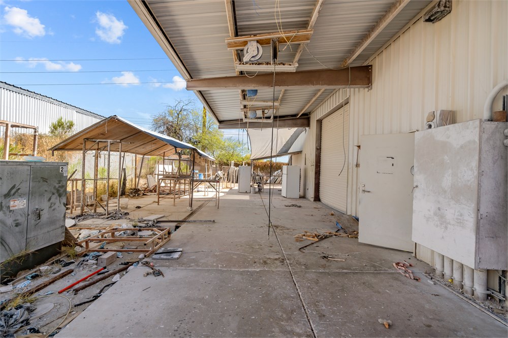
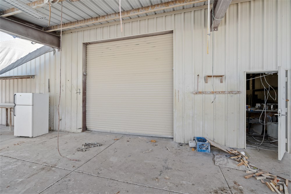
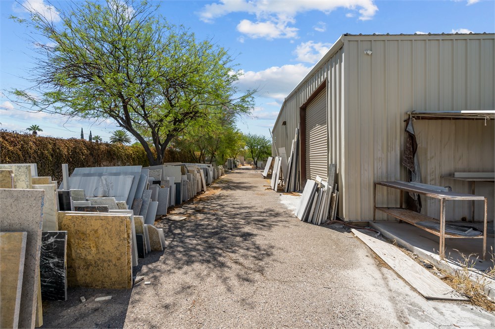
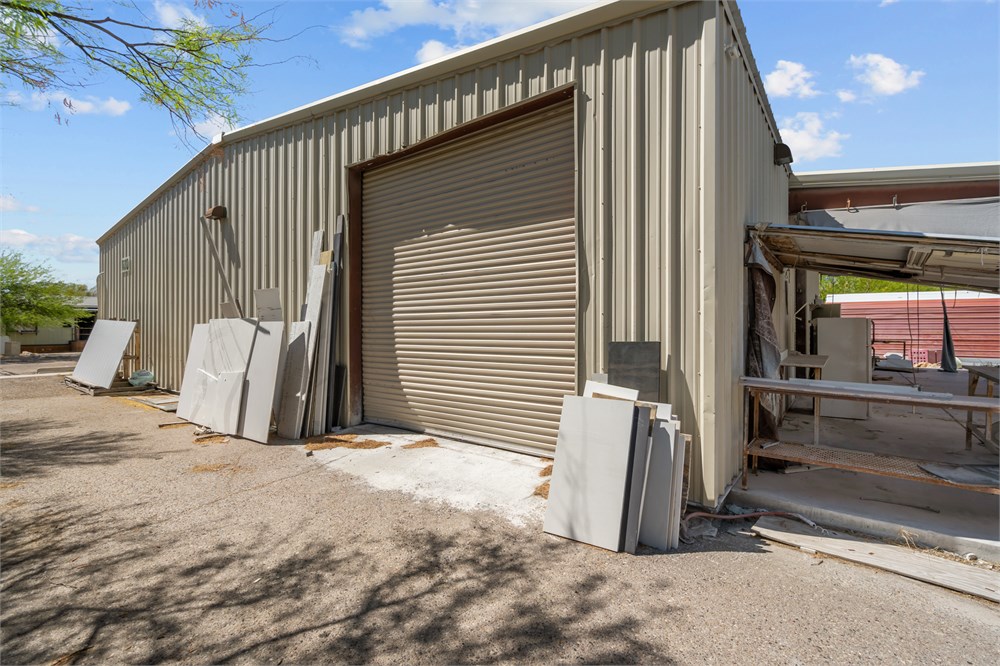
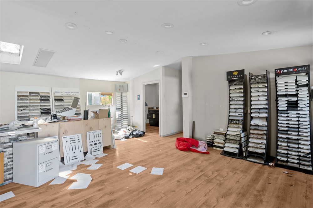
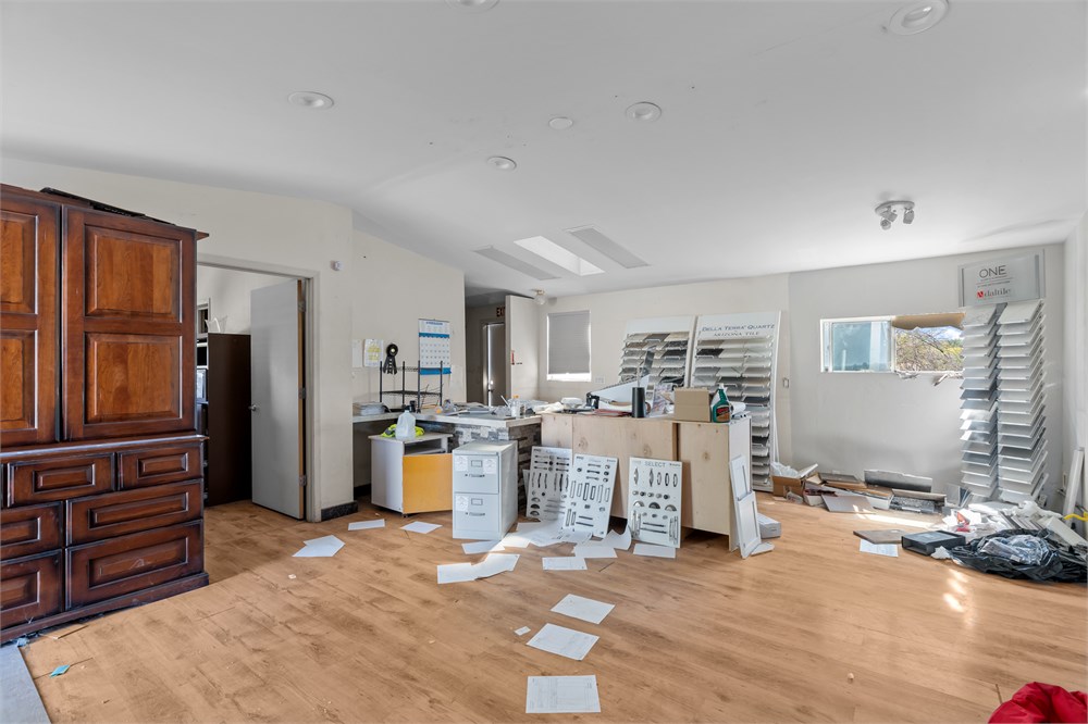
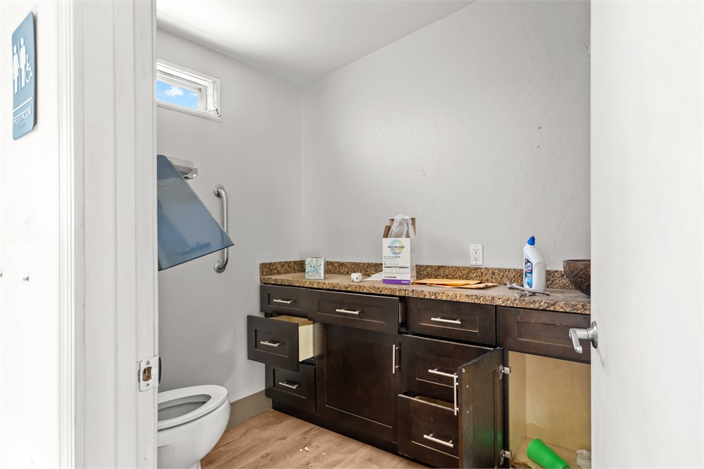
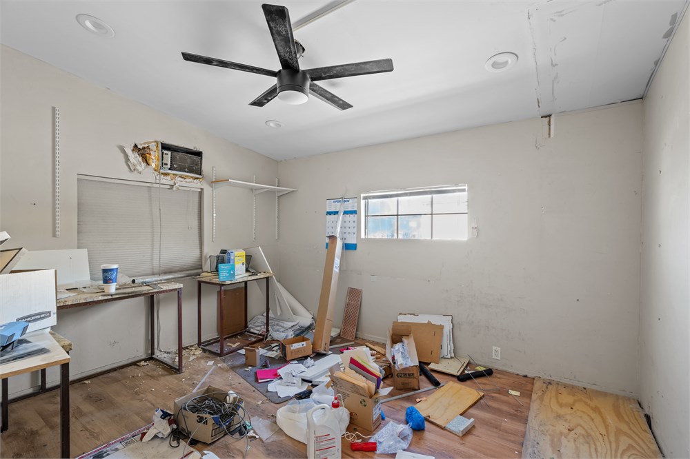
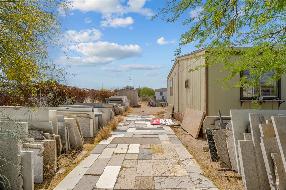
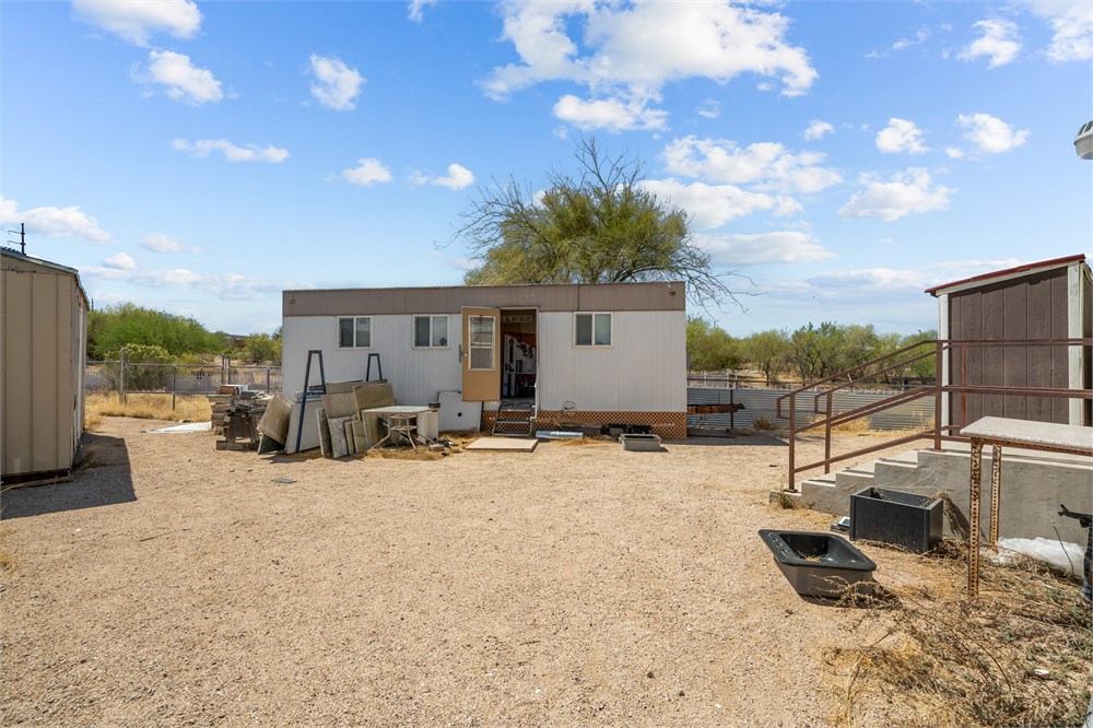
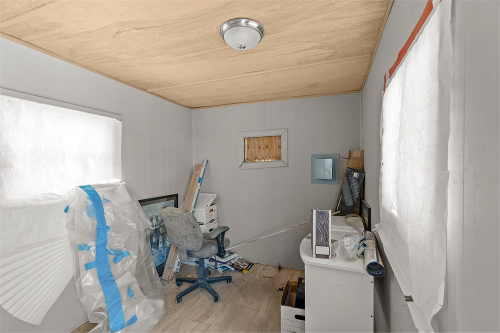
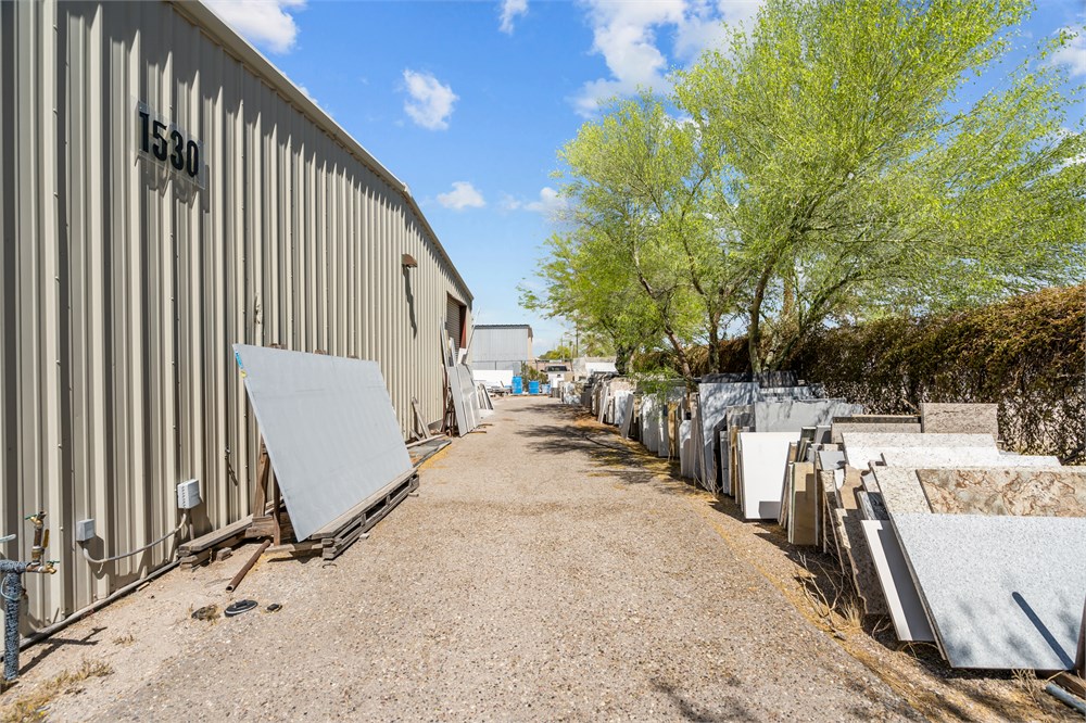
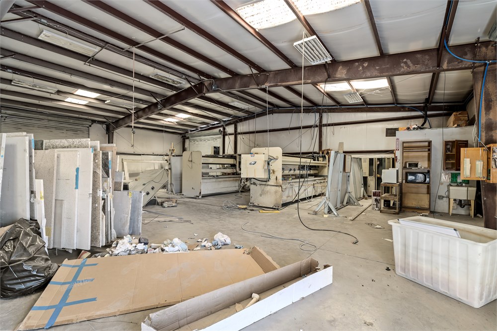
4,680+/-sf (comprised of 3,600+/-sf metal warehouse and 1,080+/- mobile building) commercial property on 0.63+/-ac. The warehouse has 14’ tall ceilings with an open floor plan, cement floors, skylights and florescent lighting. Warehouse wired for 1400 amps and 3-phase power, but is not heated or cooled. The mobile building has 3 offices and a bathroom. There are 12 marked parking spaces, and all utilities are metered for a single tenant. Great access to major transportation routes and roadways.
Open Public Inspections: 11-2pm Fri May 9 & 16
• DO NOT BID unless you have read the Williams & Williams Terms & Conditions of Sale, the Contract for Sale, Property Disclosures, all available due diligence materials, and the Auction Day Notes for each property. BY PLACING YOUR BID, YOU AGREE TO BE BOUND BY THE PROPERTY SPECIFIC CONTRACT FOR SALE, DISCLOSURES, AUCTION DAY NOTES, AND THE WILLIAMS & WILLIAMS TERMS & CONDITIONS OF SALE.
• All properties are sold "AS IS, WHERE IS" with no financing, inspection or other contingencies to sale.
• Escrow. Buyer acknowledges receipt of the Joint Escrow Instructions that modifies the Contract for Sale to provide for a designated Escrow Agent to hold down payment funds. Buyer and Seller agree that the Escrow funds may be held in a trust/escrow account located outside of the state where the Property is located.
· Property Tax Disclosure Summary: Buyer Should Not Rely On The Seller’s Current Property Taxes As The Amount Of Property Taxes That The Buyer May Be Obligated To Pay In The Year Subsequent To The Purchase. A Change Of Ownership Or Property Improvements Triggers Reassessments Of The Property That Could Result In Higher Property Taxes. If You Have Any Questions Concerning Valuation, Contact Property Appraiser’s Office For Information.
· Square Footage/Acreage Disclosure. The source of the square footage or acreage represented for the property is from public record. Buyer understands and acknowledges that square footage or acreage measurements of a property can vary from a few feet to several hundred feet regardless of source (County Assessor’s records, appraisal or appraisal measurement report, survey, etc.). Buyer shall be solely responsible for satisfying that the size and/or square footage or acreage of the property is acceptable to the Buyer.
• Personal Property Not Included. Only title to the real estate is being conveyed. Personal property may be present, but is not included in the auction. Removal of personal property remaining on site at the time of closing is the responsibility of the Buyer.
· Zone, Code, and Use Disclosure. Buyer acknowledges that the Property shall be purchased “AS-IS, WHEREIS, WITH ALL FAULTS.” The Property may be subject to city, village, and/or county code or zoning violations, and Buyer accepts the property subject to any such violations. Buyer agrees to conduct an independent search of all property records in the city, county, and/or village prior to bidding and has bid accordingly. Buyer shall be responsible for any and all required remediation of the property, if any. Buyer shall not rely on any information provided by the Seller or Williams & Williams regarding the status of any code or zoning violations, and shall base its decisions on its independent inspection. Buyer also acknowledges that the property may be subject to city, village, and/or county occupancy regulations and requirements which may impact the current and/or future use of the properties. Buyer acknowledges that the seller and Williams & Williams make no warranties of any nature, express or implied, as to the permitted uses of the property, and any prohibition of buyer’s intended use of the property shall not be a grounds for terminating the contract.
• Pictures may not reflect specific parcel, entire parcel, or current conditions of any structures that are present.
Septic Inspection. Buyer acknowledges that a state mandated septic inspection may be required prior to conveyance of the Property. If required, Buyer understands that Seller will order the inspection, and the inspection must be completed prior to closing. Buyer agrees to comply with all requirements to obtain any necessary permits, and shall make arrangements to correct any noted violations at Buyers expense, accepting all responsibility for any remediation, fees, or terms required. Buyer is responsible for submitting a notice of transfer form within 15 days of closing. Buyer acknowledges and understands that neither Seller, Williams & Williams, nor its agents make any assertions or guarantees as to the condition of any septic system, and Buyer is purchasing this property "as-is, where-is". Buyer should conduct an investigation into cost of compliance with septic requirements prior to bidding.
That portion of the Northeast quarter of Section 31, Township 14 South, Range 14 East, Gila and Salt River Base and Meridian, Pima County, Arizona, more particularly described as follows: BEGINNING at a point on the North and South quarter Section line, which point is 430.0 feet North 00° 55' 00" West from the interior quarter corner of said Section 31; THENCE North 89° 05′ 00′′ East, a distance of 721.70 feet; THENCE North 49° 05' 00" East, a distance of 730.9 feet (more or less) to a point on the Southwest right-of-way line of the Tucson-Benson Highway (US 80) as established by Book 1 of Road Maps, Page 106; THENCE North 40° 55' 00" West along the said Southwest right-of-way line, a distance of 160.0 feet to the TRUE POINT OF BEGINNING; THENCE North 80° 55' 00" West, a distance of 466.72 feet to a point on a line 300 feet Southwesterly from and parallel to said right-of-way line; THENCE North 40° 55' 00" West along the said line 300 feet Southwesterly from and parallel to said right-of-way line to the most Southerly corner of that certain piece of property described in Docket 836, page 301; THENCE North 49° 05′ 00′′ East, a distance of 300 feet to the Southwesterly right-of-way line of said Tucson Benson Highway; THENCE Southeasterly along said Southwesterly right-of-way line of the Tucson-Benson Highway to the TRUE POINT OF BEGINNING. EXCEPT that portion conveyed to Pima County, Arizona, by Deed recorded May 7, 1964 in Docket 2261, page 134, described as follows: BEGINNING at a point on the North-South quarter section line of said Section 31, which point is 430.0 feet North 00°55'00" West, from the interior quarter corner of said Section; THENCE North 89°05'00" East, 721.70 feet to a point; THENCE North 49°05'00" East, 731.40 feet to a point on the Southwesterly right of way line of the Tucson-Benson Highway (U.S. 80) as established by Book 1 of Road Maps, Page 106; THENCE North 40°55'00" West, along said right of way line, 160.00 feet to the TRUE POINT OF BEGINNING; THENCE North 40°55'00" West, along said right of way line, 187.0 feet to a point; THENCE North 85°00'43" West, 111.35 feet to a point of curve; THENCE along the arc of a 830.00 feet radius curve to the right, 266.30 feet to a point; THENCE South 49°05'00" West, 70.80 feet to the Southerly most corner of that certain real property described in Docket 836 at Page 301; THENCE South 40°55'00" East, 126.90 feet to a point on the Southerly line of that parcel described in Deed recorded in Docket 1823 at Pages 324 and 325; THENCE South 80°55'00" East, along said line, 466.72 feet to the TRUE POINT OF BEGINNING. AND EXCEPT that part lying Northwesterly of the Southeasterly line of the following described parcel: All that portion of the Northeast quarter of Section 31, Township 14 South, Range 14 East of the Gila and Salt River Base and Meridian, Pima County, Arizona, described as follows: COMMENCING at the North quarter corner of said Section 31; THENCE South 0°34' East, 222.85 feet to the Southwest right of way line of the Tucson-Benson Highway (U.S. 80), as established by Map recorded in Book 1 of Road Maps, Page 106; HENCE South 40°55' East along said right of way, 1,050 feet to the TRUE POINT OF BEGINNING; THENCE South 40°55' East along said right of way, 300 feet; HENCE South 49°05' West, 300 feet to the Northeasterly line of a parcel described in Docket 753, Page 494; HENCE North 40°55' West along said Northeasterly line, 300 feet to the most Southerly corner of parcel described in Docket 366, Page 524; THENCE North 49°05' East, 300 feet to the TRUE POINT OF BEGINNING; AND FURTHER EXCEPTING therefrom that portion conveyed in instrument recorded May 27, 1964 in Docket 2270, Page 188.
- "As-Is, Where-is", no contingencies to sale
- 5% Buyer's Premium ($10,000 minimum)
- 10% Down-payment ($5,000 minimum)
- View full Terms of Sale
To learn more about auction, visit Help Center or our Frequently Asked Questions.
You can also speak with Customer Service during business hours, call 866.921.2135 or email us.