


 Print
Print Save
Save
 Share
Share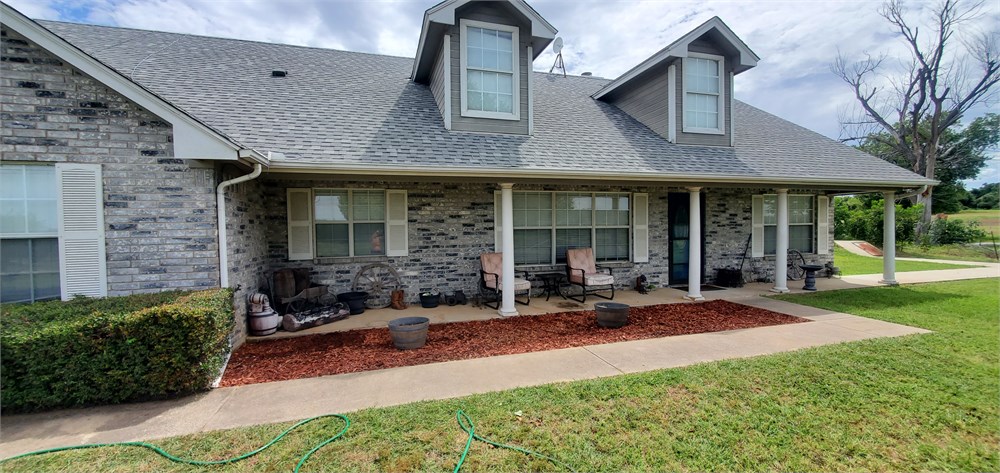
*** Broker’s Notice: Seller Would Like to See All Bonafide Offers ***
Due Diligence Materials available by completing a CNRA here: https://www.williamsauction.com/cnra
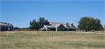
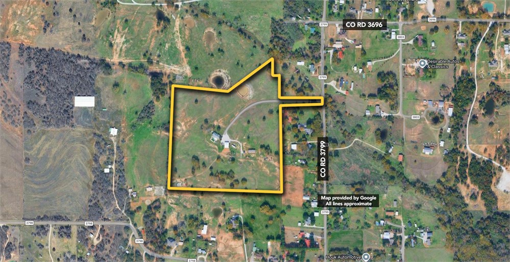
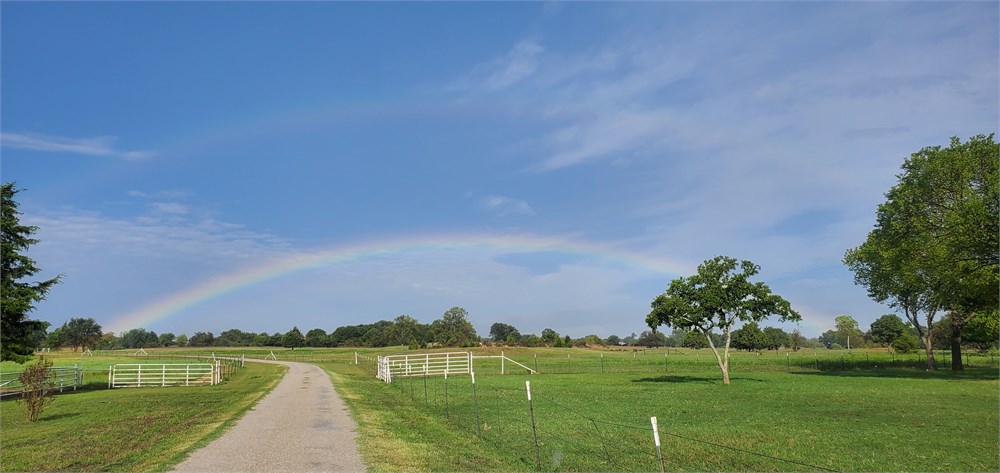
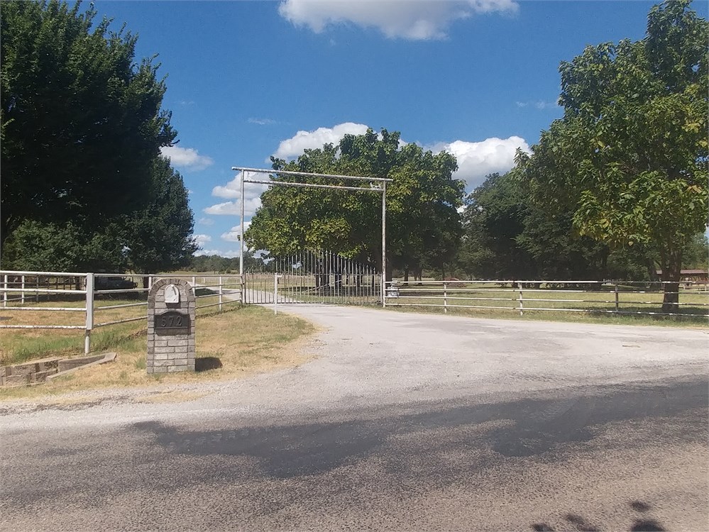
Private 29+/- ag exempt acres w/ home, shop & inground pool.
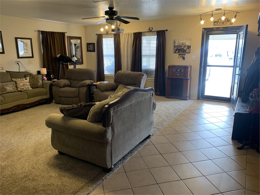
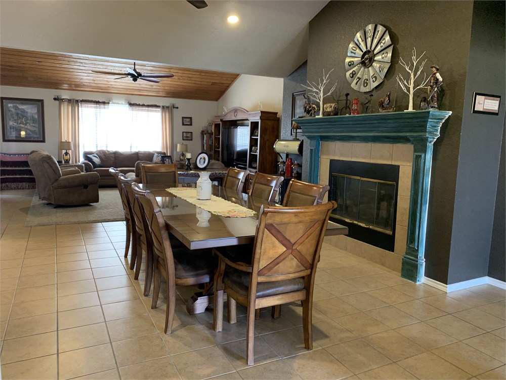
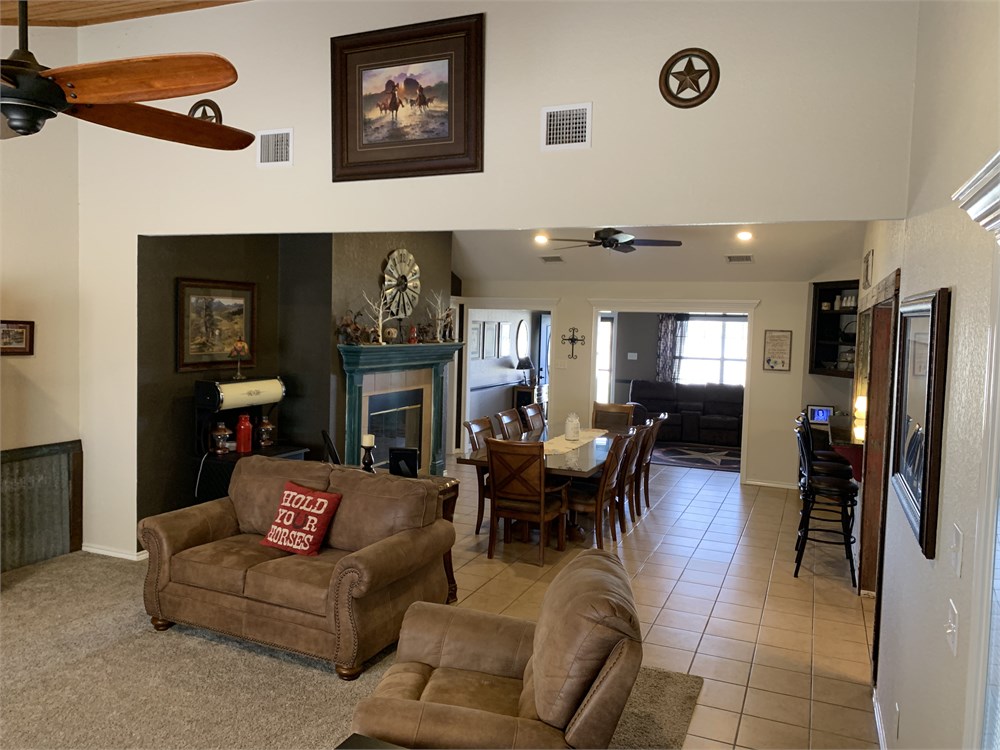
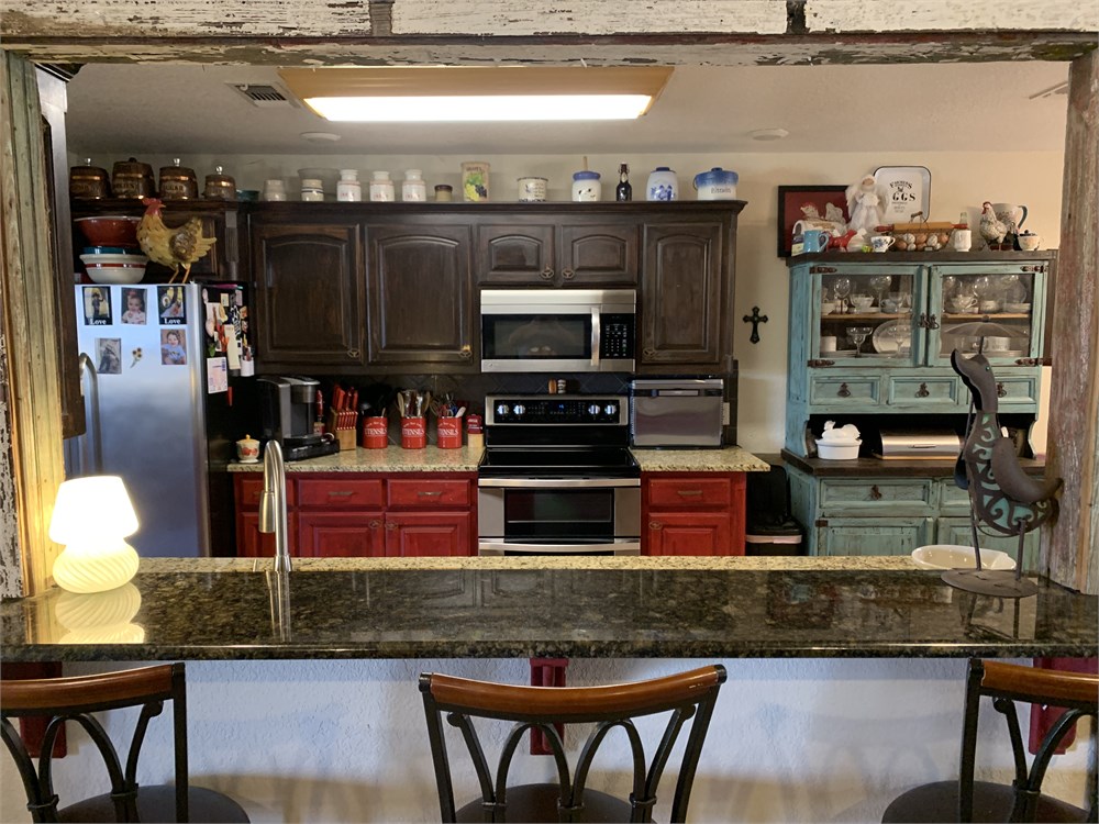
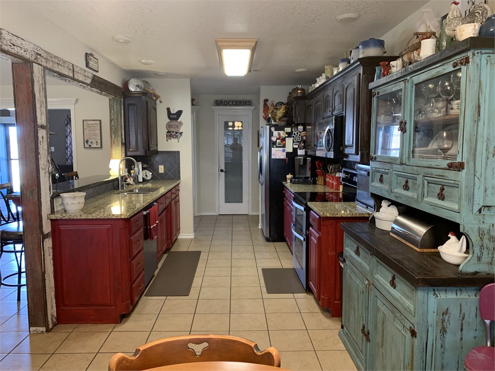
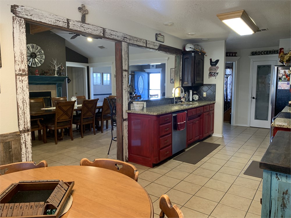
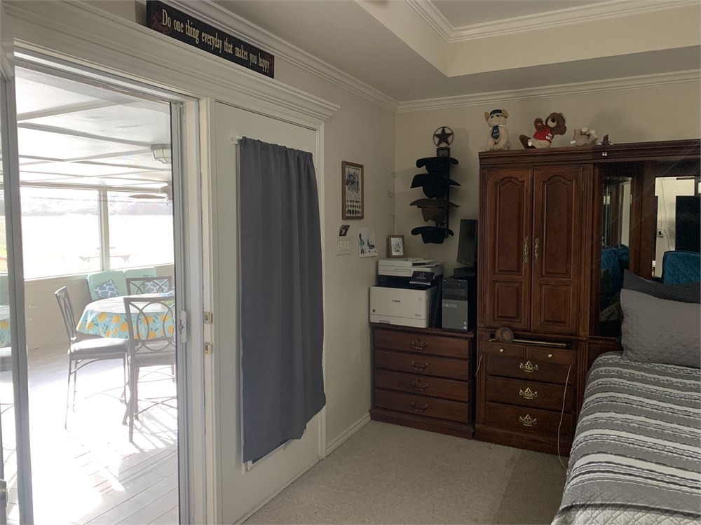
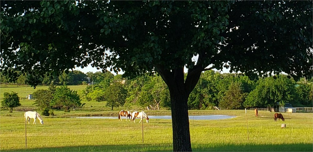
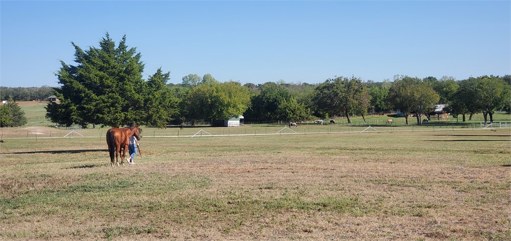
Beautiful ranch home. This exceptional property offers the perfect blend of peaceful country living yet close proximity to Weatherford, Decatur and Ft Worth. The property is well-suited for ranching, development, horses, recreation, multi-family or a home-based business
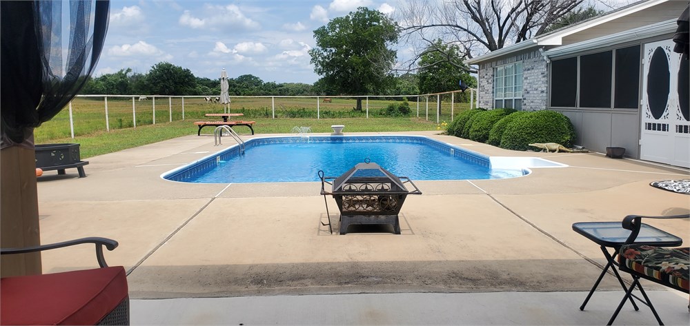
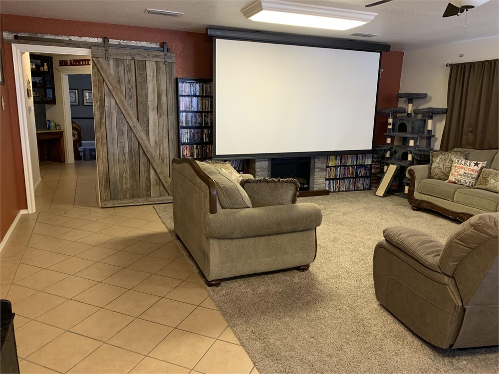
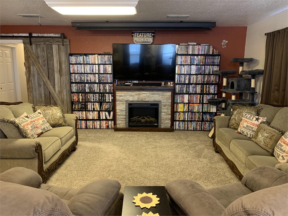
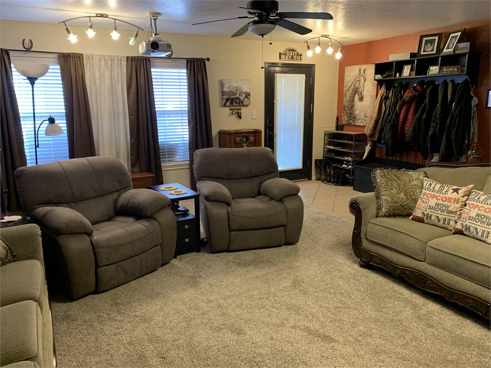
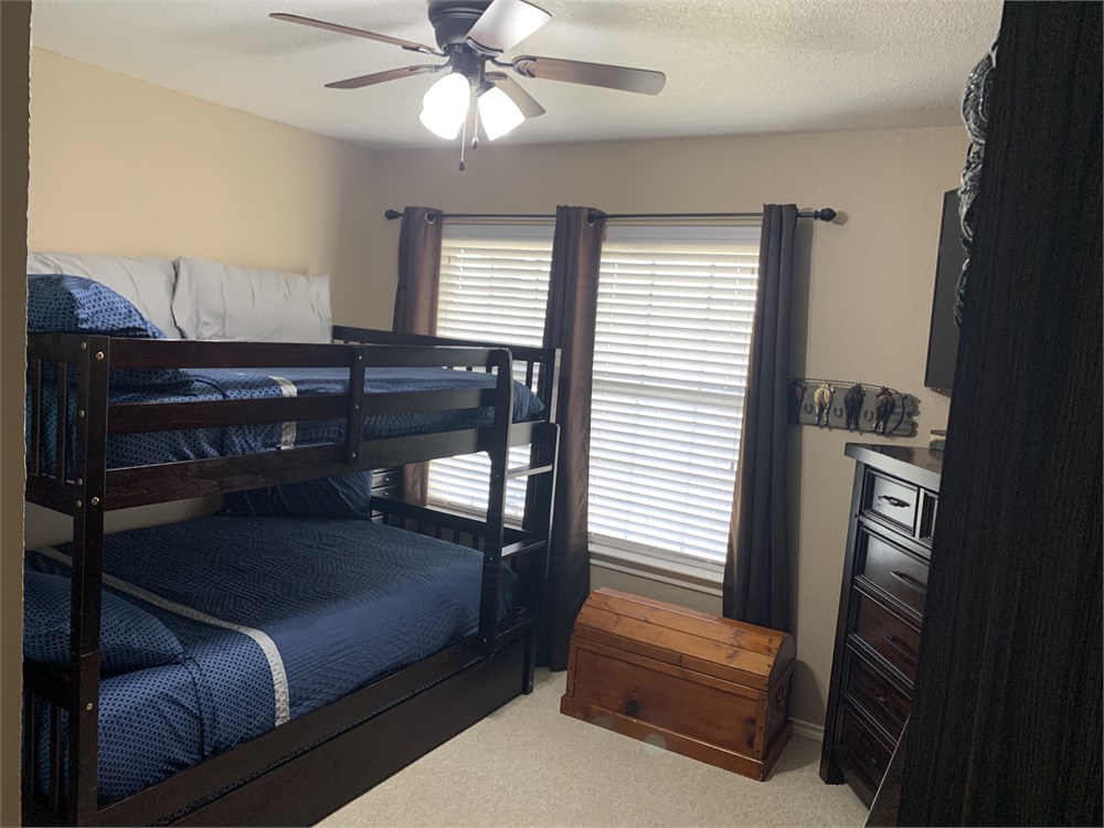
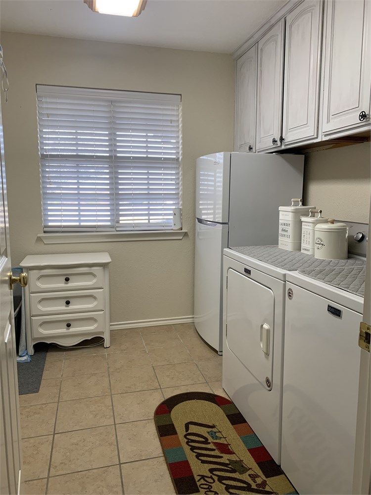
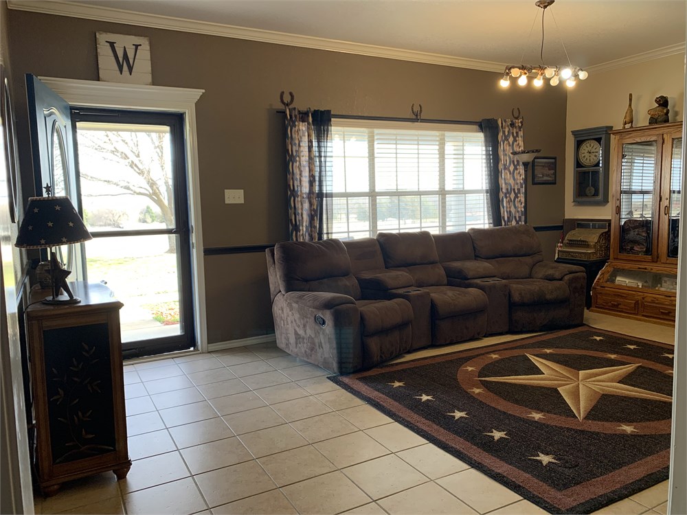
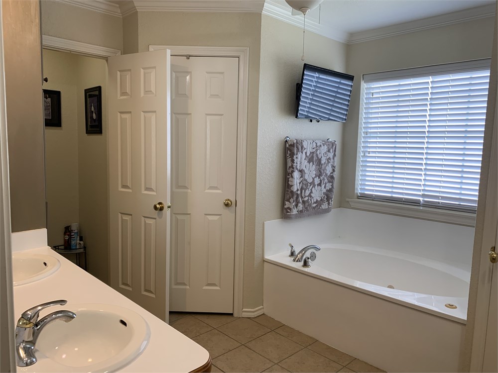
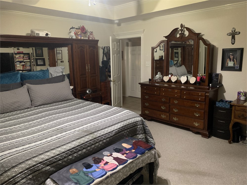
Spacious 2,639+/-sf home is ideal for entertaining with large screened porch overlooking inground pool with diving board and gazebo. Home includes 3BR 2BA, Dining Room, 2 living areas and a movie room. Concrete sidewalk connects cellar to front porch.
Large metal shop includes 1,200+/-sf on slab w/ 2 overhead doors plus 800+/-sf with 4 swing gate dirt stalls open to the coral and working pen. Shop has electric. Water and Sewer are underground to the shop to be connected when ready. Additional RV Spot includes all utilities for storage or temporary guests.
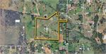
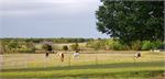
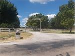
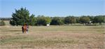
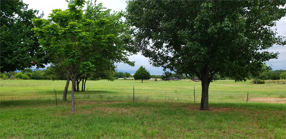
Property is fenced and cross-fenced including pond with fishing dock. Mostly cleared gently rolling acres include large pecan trees, plum bushes, blackberries, and peppered with oak, cedar and other trees.
The Manufactured Home on property is being removed so the buyer can utilize the 2,000+/-sf concrete slab with existing utilities for future barn, shop or additional home site.
Open Public Inspections: Realtors may call 800.801.8003 to Schedule a Showing
- Texas law requires that auctioneers notify consumers that consumers may contact the Texas Department of Licensing and Regulation, PO Box 12157, Austin, TX 78711 or by phone at 800-803-9202 for the purpose of making a complaint regarding a Texas auction.
- Texas Law requires all real estate license holders to give the following information about brokerage services to prospective buyers, tenants, sellers and landlords. This information is available in the Documents section of the Property Detail Page on the website.
- Flood Plain Disclosure. Buyer acknowledges and understands that the Property may lie in a flood zone. Buyer is purchasing the Property as-is, where-is, and accepts all responsibility at buyer's sole expense for any remediation, fees, or terms required as a result of the Property being within a flood plain.
- Occupied Property Disclosure. Buyer acknowledges and understands that property herein is partially occupied. Buyer accepts responsibility for eviction, lease or rental negotiation, or other remediation, as Buyer finds necessary in order to clarify legal occupancy status. Buyer agrees to hold Seller, Williams & Williams, and its agents harmless from any and all results therein.
- DO NOT BID unless you have read the Williams & Williams Terms and Conditions of Sale, the Contract for Sale, Property Disclosures, all available due diligence materials, and the Auction Day Notes for each property. BY PLACING YOUR BID, YOU AGREE TO BE BOUND BY THE PROPERTY SPECIFIC CONTRACT FOR SALE, DISCLOSURES, AUCTION DAY NOTES, AND THE WILLIAMS & WILLIAMS TERMS and CONDITIONS OF SALE.
- All properties are sold AS IS, WHERE IS with no financing, inspection or other contingencies to sale.
- Escrow. Buyer acknowledges receipt of the Joint Escrow Instructions that modifies the Contract for Sale to provide for a designated Escrow Agent to hold down payment funds. Buyer and Seller agree that the Escrow funds may be held in a trust/escrow account located outside of the state where the Property is located.
- Property Tax Disclosure Summary: Buyer Should Not Rely On The Seller's Current Property Taxes As The Amount Of Property Taxes That The Buyer May Be Obligated To Pay In The Year Subsequent To The Purchase. A Change Of Ownership Or Property Improvements Triggers Reassessments Of The Property That Could Result In Higher Property Taxes. If You Have Any Questions Concerning Valuation, Contact Property Appraiser's Office For Information.
- Square Footage/Acreage Disclosure. The source of the square footage or acreage represented for the property is from public record. Buyer understands and acknowledges that square footage or acreage measurements of a property can vary from a few feet to several hundred feet regardless of source (County Assessor's records, appraisal or appraisal measurement report, survey, etc.). Buyer shall be solely responsible for satisfying that the size and/or square footage or acreage of the property is acceptable to the Buyer.
- Personal Property Not Included. Only title to the real estate is being conveyed. Personal property may be present, but is not included in the auction. Removal of personal property remaining on site at the time of closing is the responsibility of the Buyer.
- Zone, Code, and Use Disclosure. Buyer acknowledges that the Property shall be purchased AS-IS, WHERE-IS, WITH ALL FAULTS. The Property may be subject to city, village, and/or county code or zoning violations, and Buyer accepts the property subject to any such violations. Buyer agrees to conduct an independent search of all property records in the city, county, and/or village prior to bidding and has bid accordingly. Buyer shall be responsible for any and all required remediation of the property, if any. Buyer shall not rely on any information provided by the Seller or Williams & Williams regarding the status of any code or zoning violations, and shall base its decisions on its independent inspection. Buyer also acknowledges that the property may be subject to city, village, and/or county occupancy regulations and requirements which may impact the current and/or future use of the properties. Buyer acknowledges that the seller and Williams & Williams make no warranties of any nature, express or implied, as to the permitted uses of the property, and any prohibition of buyer's intended use of the property shall not be a grounds for terminating the contract.
- Pictures may not reflect specific parcel, entire parcel, or current conditions of any structures that are present.
Surface estate only and subject to all rights, privileges and immunities relating to interest not constituting part of the surface to the following described property:
TRACT ONE:
Description for a 20.95 acre tract of land situated in the A. DUNLAP SURVEY, Abstract No. 261, the T & P R.R. CO SURVEY, Abstract No. 1499 and the U. BROWNSON SURVEY, Abstract No. 97, Wise County, Texas, said tract being the same tract of land described in deed to Mikel Williams and wife, Pamela Williams, recorded in Volume 1032, Page 108, O.R.W.C.T. and being more particularly described as follows: COMMENCING by deed call from a 1/2" iron found in County Road No. 3799, said iron being for the Southeast corner of that certain tract of land recorded in Volume 655, Page 838, R.R.W.C.T., and being by deed call, N 00° 04' 30" E, 3108.89 feet from the Southeast corner of said A. DUNLAP SURVEY, THENCE S 89° 36' 55" W, 15.00 feet, THENCE S 01° 34' 31" W, 268.02 feet, THENCE N 88° 11' 05" W, 403.66 feet, THENCE S 00° 00' 55" W. 211.00 feet, THENCE N 88° 11' 05" W, 124.20 feet, THENCE S 00° 00' 55 W, 399.52 feet to a 1/2" iron found at the Southeast corner of that certain tract of land described in deed to Brian Burtnett, recorded in Volume 1784, Page 116, O.R.W.C.T., and being for the Northwest corner of that certain tract of land described in deed to Kenneth N. Mellenbruch and wife, Paula Mellenbruch recorded in Volume 2194, Page 365, O.R.W.C.T. and being for the POINT OF BEGINNING; THENCE S 00° 00' 55" W, with the West line of said Volume 2194, Page 365, 150.01 feet to a metal fence post at the Southwest corner of said Volume 2194, Page 365; THENCE S 88° 12' 24" E, with the South line of said Volume 2194, Page 365, 350.10 feet to a metal fence post; THENCE S 50° 56' 37" E, with the South line of said Volume 2194, Page 365, 205.47 feet to a 1/2" iron found at the Southeast corner of said Volume 2194, page 365 and being in the West line of County Road No. 3799;
THENCE with the West line of said County Road No. 3799, the following calls:
S 09° 06' 29" E, 142.38 feet to a capped iron found; S 00° 32' 46" E, 23.13 feet to a 1/2" iron found at the Northeast corner of Lot 5, of Phase 1, Stone Valley, recorded in Cabinet B, Slide 153, Plat Records, Wise County, Texas; THENCE N 89° 53' 35" W, with the North line of said Lot 5, 417.21 feet to a 1/2" iron found at the Northwest corner of said Lot 5; THENCE S 00° 51' 03" E, with the West line of said Lot 5 and Lots 6 and 7 of said Stone Valley, 500.77 feet to a ½” iron found at the Southeast corner of said Volume 1032, Page 108 and for the Northeast corner of that certain tract of land described in deed to Mikel Williams and wife, Pamela Williams, recorded in Volume 1030, Page 755, O.R.W.C.T., and being for the Southwest corner of said Lot 7 and for the Northwest corner of that certain tract of land described in deed to Rosemary M. Willcut, recorded in Volume 582, Page 333, R.R.W.C.T.; THENCE N 88° 16' 33" W, with the common line of said Volume 1032, Page 108 and said Volume 1030, Page 755, 1140.05 feet to a metal fence post at the Southwest corner of said Volume 1032, Page 108 and the Northwest corner of said Volume 1030, Page 755, and being in the East line of that certain tract of land described in deed to Dave Miller and Vicky Ferrer, recorded in volume 752, Page 889, R.R.W.C.T.; THENCE N 03° 00' 30" E, with the East line of said Volume 752, Page 889, 666.97 feet to a 1/2" iron found at the Northwest corner of said Volume 1032, Page 108 and the Southwest corner of said Volume 1784, Page 116; THENCE with the South line of said Volume 1784, Page 116, the following calls: S 83° 18' 50" E, 548.92 feet to a metal fence post; N 55° 01' 56" E, 557.31 feet to the POINT OF BEGINNING and containing 20.95 acres of land.
AND
TRACT TWO: Description for a 10.00 acre tract of land situated in the A. DUNLAP SURVEY, Abstract No. 261, the T & P R.R. CO. SURVEY, Abstract No. 1499 and the U. BROWNSON SURVEY, Abstract No. 97, Wise County, Texas, said tract being the same tract of land described in deed to Mikel Williams and wife, Pamela Williams, recorded in Volume 1030, page 755, O.R.W.C.T. and being more particularly described as follows: COMMENCING by deed call from a 1/2" iron found in County Road No. 3799, said iron being for the Southeast corner of that certain tract of land recorded in Volume 655, Page 838, R.R.W.C.T., and being by deed call, N 00° 04' 30" E, 3108.89 feet from the Southeast corner of said A. DUNLAP SURVEY, THENCE S 89° 36’ 55" W, 15.00 feet, THENCE S 01° 34'31" W, 268.02 feet, THENCE N 88° 11' 05" W, 403.66 feet, THENCE S 00° 00' 55" W, 211.00 feet, THENCE N 88° 11' 05" W, 124.20 feet, THENCE S 00° 00' 55" W, 399.52 feet, THENCE S 55° 01' 56" W, 557.30 feet, THENCE N 83° 81' 50" W, 548.92 feet, THENCE S 03° 00' 30" W, 666.97 feet to a metal fence post at the Northwest corner of said Volume 1030, Page 755 and the Southwest corner of that certain tract of land described in deed to Mikel Williams and wife, Pamela Williams, recorded in Volume 1032, Page 108, O.R.W.C.T., and being in the East line of that certain tract of land Dave Miller and Vicky Ferrer, recorded in Volume 752, Page 889, R.R.W.C.T. and being for the POINT OF BEGINNING; THENCE S 88° 16' 33" E, with the common line of said Volume 1030, Page 755 and said Volume 1032, Page 108, 1140.05 feet to a 1/2" iron found at the Northeast corner of said Volume 1030, Page 755 and at the Southeast corner of said Volume 1032, Page 108 and at the Southwest corner of Lot 7, Phase 1, Stone Valley, recorded in Cabinet B, Section 153, Plat Records, Wise County, Texas, and being for the Northwest corner of that certain tract of land described in deed to Rosemary M. Willcut, recorded in Volume 582, Page 333, R.R.W.C.T.; THENCE S 00° 51' 03" E, with the West line of said Volume 582, Page 333, passing the Southwest corner of said Volume 582, Page 333, and the Northwest corner of that certain tract of land described in deed to Jimmie D. Farrar and wife, Sheila K. Farrar, recorded in Volume 2009, Page 631, 0.R.W.C.T., continuing with the West line of said Volume 2009, page 631, in all, 3678.25 feet to a capped iron found at the Southeast corner of said Volume 1030, Page 755 and the Northeast corner of that certain tract of land described in deed to Colleen M. Hendrix, recorded in Volume 1062, Page 727, 0.R.W.C.T.; THENCE N 88° 16' 33" W, with the common line of said Volume 1030, Page 755 and said Volume 1062, Page 727, 1165.51 feet to a capped iron found at the Southwest corner of said Volume 1030, Page 755 and the Northwest corner of said Volume 1062, Page 727, and being in the East line of that certain tract of land described in deed to Alicia McCue, recorded in Volume 753, Page 640, R.R.W.C.T.;
THENCE N 03° 00' 27" E, with the East line of said Volume 753, Page 640, passing the Northeast corner of said Volume 753, Page 640 and the Southeast corner of said Volume 752, Page 889, and continuing with the East line of said Volume 752, Page 889, in all, 377.96 feet to the POINT OF BEGINNING and containing 10.00 acres of land.
- "As-Is, Where-is", no contingencies to sale
- Close within 30 days of seller acceptance
- 10% Down Payment ($5,000 minimum)
- Technology Fee: $299
To learn more about auction, visit Help Center or our Frequently Asked Questions.
You can also speak with Customer Service during business hours, call 866.921.2135 or email us.